Agricultural Risk Intelligence
Turn satellite and weather observations into reviewable agricultural risk evidence.
FarCrowd helps agricultural risk teams assemble field evidence, compare vegetation conditions, apply transparent screening rules, record human review, and produce traceable reports.
Prairie South 03 · FC-SK-003
NDVI trend (July 1–30, 2026)
Awaiting human review · Sample Reviewer workspace record
Agricultural risk evidence is often fragmented across fields, dates, weather records, maps, and review notes.
When evidence is distributed across disconnected sources, review becomes slower, less consistent, and more difficult to explain. FarCrowd brings the field, observations, indicators, screening logic, reviewer actions, and final report into one structured workflow.
Fragmented review
FarCrowd workflow
- 1Field & period
- 2Vegetation & weather evidence
- 3Data quality state
- 4Screening conditions
- 5Recorded human review
- 6Traceable report
How It Works
A six-step field-to-report workflow.
Create a risk case
Start a structured case that will hold the field, the review period, and every piece of evidence gathered along the way.
New risk case
Product
Twelve capabilities across the review workflow.
Guided Risk-Case Intake
Open a new case with a structured, step-by-step intake flow.
Field Workspace
Work with a defined field boundary as the anchor for every observation.
NDVI and NDMI Trends
Compare vegetation and moisture indicators across the review period.
Weather Context
View precipitation and temperature context alongside vegetation indicators.
Data Quality and Sufficiency
See observation counts and quality states before conclusions are drawn.
Transparent Screening
Inspect each screening condition and the value that determined its outcome.
Evidence Provenance
Trace every value back to its source, capture date, and processing step.
Human Review
Record a reviewer decision and note against the assembled evidence.
AI-Assisted Narrative
Draft a plain-language summary of the case for a reviewer to edit and approve.
Downloadable Report
Produce a structured, shareable report of the field, evidence and decision.
Review History
Keep a record of review actions and notes attached to each case.
Audit History
Maintain a traceable log of changes made to a case over time.
Product Preview
See the workflow, from field evidence to report.
- Healthy canopy
- Stress signal
Observation sufficiency
5 cloud-valid scenes in July 1–30, 2026
Prairie South 03 · FC-SK-003
Transparency
Evidence should be reviewable—not hidden behind a score.
Identified Sources
Every observation is attributed to a named source and capture date.
Reproducible Indicators
Indicator values can be checked against the observations behind them.
Transparent Screening
Screening conditions and their observed values are shown, not hidden.
Human Accountability
A recorded reviewer decision sits beside every screening outcome.
Connected data services referenced above—such as HLS satellite observations and ERA5-Land climate context—describe planned architecture. They are not currently live connections.
Use Cases
Where the workflow applies.
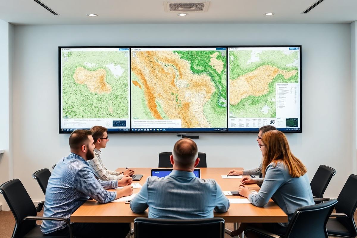
Agricultural Insurer or MGA Review
Assemble field evidence and screening outcomes to support review conversations.

Agricultural Risk-Program Administration
Track field conditions and reviewer decisions across a season of program activity.
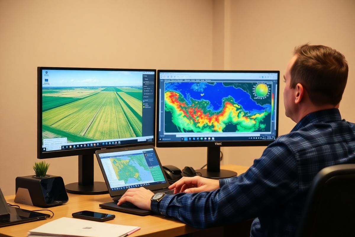
Agricultural Finance and Lending
Compare vegetation and weather context alongside other portfolio information.
Agribusiness and Supply-Chain Visibility
Monitor field-level conditions relevant to sourcing and planning conversations.
Roadmap
Where FarCrowd is headed.
Current Focus
Field-to-report risk-evidence experience
- Guided risk-case intake and field workspace
- Vegetation and weather evidence panels with visible data quality
- Transparent screening, recorded human review and a traceable report
Next Stage
Connected data services and pilot validation
- Planned connection to HLS satellite observations
- Planned connection to ERA5-Land climate context
- Structured review sessions with agricultural risk teams
Future Expansion
Portfolio analytics, customer-specific rules and integrations
- Portfolio-level views across many fields and periods
- Configurable screening conditions per program
- Integration paths into existing risk and administration systems
Insights
Reading on risk-evidence review.
Risk Evidence
How Satellite and Weather Evidence Supports Agricultural Risk Review
A structured review becomes more useful when field boundaries, vegetation observations, weather context, source quality and reviewer actions can be examined together.
8 min read
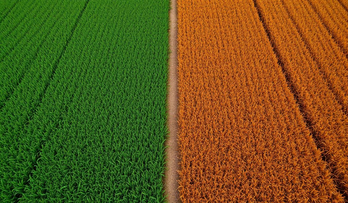
Indicators
NDVI and NDMI: What They Show—and What They Do Not
Vegetation indicators can help reviewers compare changing field conditions, but they must be interpreted with observation quality, timing and context.
7 min read
Responsible Design
Why Data Quality and Human Review Matter in Agricultural Risk Screening
A responsible workflow should identify when evidence is strong enough to review and when the system should return an insufficient-evidence state.
7 min read
Team
Founding team.
Amin Vaghef
Co-founder
Agricultural engineering, food science, production and quality-management background.
Mohammadmehrdad Hosseini
Co-founder
Banking operations, administration and stakeholder-coordination background.
Anahita Eil
Co-founder
Food quality, product development and operating-workflow background.
Hanieh Kashi
Co-founder
Entrepreneurship, communications, marketing and business-development background.
Mahroo Zarezadeh
Co-founder
Finance, banking, planning and Canada-coordination background.