
How Satellite and Weather Evidence Supports Agricultural Risk Review
A structured review becomes more useful when field boundaries, vegetation observations, weather context, source quality and reviewer actions can be examined together.
Risk Evidence8 min read
Core message
Satellite and weather sources do not replace professional judgment. Their value comes from organizing field-level observations into a transparent workflow where sources, dates, indicators, limitations and reviewer actions remain visible.
Evidence is only useful when a reviewer can see where it came from, when it was captured and how confident the record is.
Why evidence becomes fragmented
Agricultural risk review rarely fails because information is missing. It more often struggles because information is scattered. A field boundary lives in one mapping file, a set of photographs sits in an email thread, precipitation notes appear in a spreadsheet, and the reviewer's reasoning is captured in a document that never travels with the case.
Each of those artefacts may be individually reliable. Together they are difficult to reconcile: the boundary may not match the parcel described in the notes, the photographs may pre-date the period being examined, and the precipitation figures may summarise a station some distance from the field.
The practical cost is time. A reviewer spends effort reassembling context before any judgment can begin, and a second reviewer examining the same case later has to repeat that reassembly. Consistency suffers, not because standards are absent, but because the underlying record is not held in one place.
The role of field boundaries
A defined field boundary is the anchor for everything else. Once a polygon is fixed, every subsequent observation can be attributed to a specific area rather than an approximate location, and area-weighted statistics become comparable across periods.
Boundaries also make disagreement productive. If two parties interpret a case differently, the first question can be whether they are looking at the same geometry. When the polygon is stored with the case, that question is answered immediately instead of debated.
What satellite observations contribute
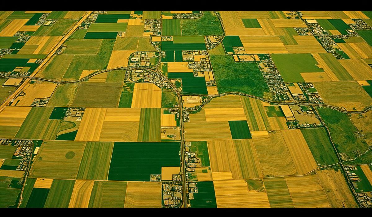
Satellite observations contribute repeated, consistently processed measurements over the same geometry. Their strength is not that any single scene is definitive, but that a sequence of scenes describes direction of change across a season.
They also contribute an honest record of their own limits. Every observation carries a capture date and a cloud assessment. A period with two usable scenes is materially different from a period with six, and a workflow that surfaces that difference lets the reviewer calibrate how much weight the imagery deserves.
Why weather context matters
Vegetation indicators describe the state of a canopy; they do not explain it. A decline may follow moisture deficit, but it may equally follow hail, disease pressure, an early harvest, or a management decision.
Placing precipitation and temperature context beside the vegetation record gives the reviewer a second, independent line of evidence. Where the two agree, confidence increases. Where they diverge, the divergence itself is informative and usually deserves a note in the review record.
From observations to human review
A screening rule should do one job: route attention. When conditions are met, the case is placed in front of a reviewer with the supporting values visible. When observation sufficiency is not met, the workflow should say so rather than produce a conclusion the data cannot support.
The reviewer then supplies what no indicator can: local knowledge, program rules, correspondence, and professional judgment. Recording that decision, with a note and a date, converts a screening signal into an accountable outcome.
What a traceable report should contain
A traceable report restates the case rather than reinterpreting it. It should name the field and period, list the evidence sources and their dates, present the indicator values used, state the screening conditions and whether each was met, describe data quality plainly, and reproduce the reviewer's recorded decision.
It should also state its own limits. A report that acknowledges what it does not establish is more useful in a review conversation than one that reads as a verdict.